Our Surveying Services
Professional Surveying Services You Can Rely On
We deliver accurate, on-time surveying solutions using trusted methods and advanced technology—tailored to meet the needs of every project.
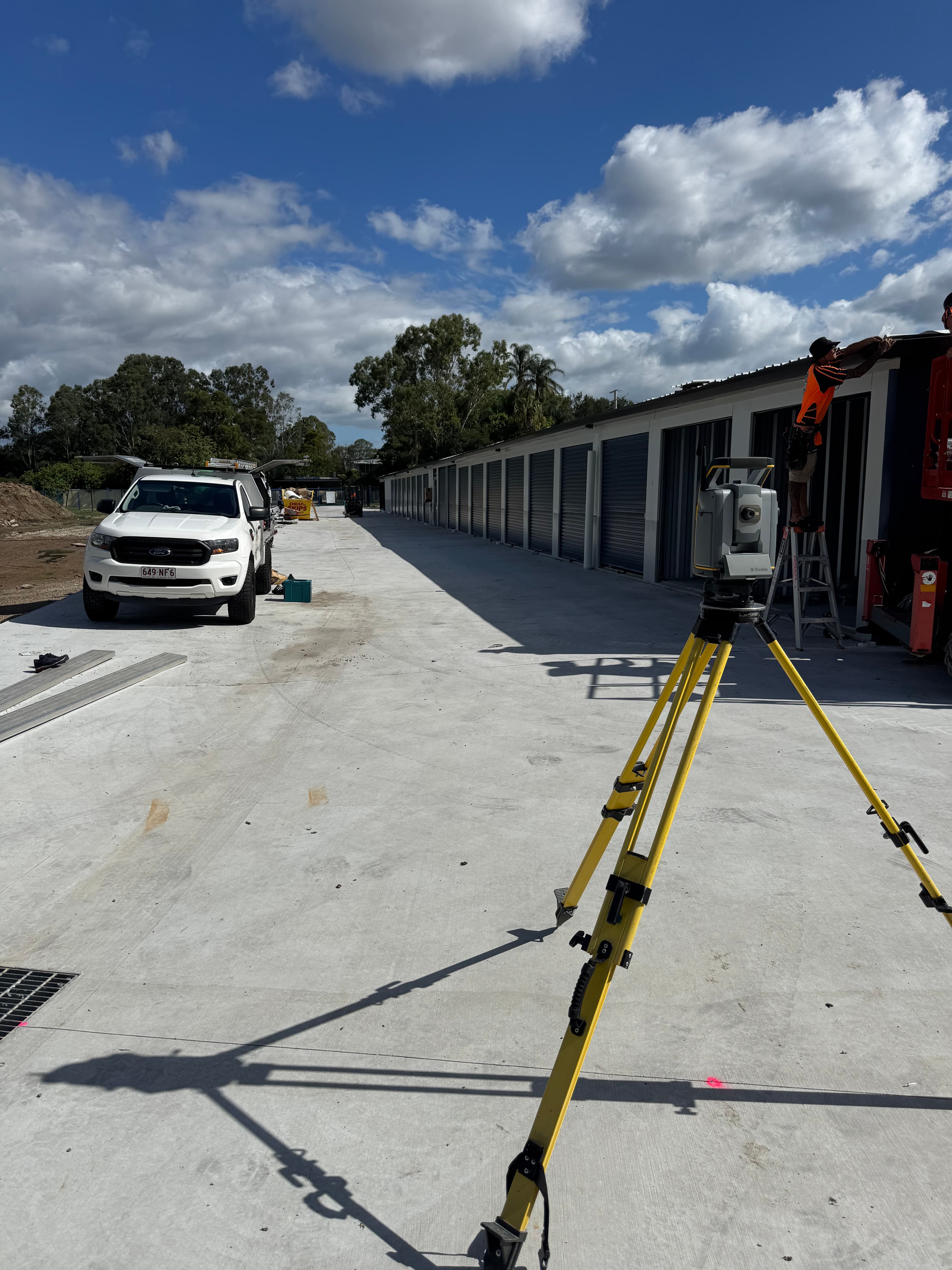
Boundary Identification Surveys
Know exactly where your property begins and ends.
A Boundary Identification Survey, often called anIdent Survey, determines the legal boundaries of your property and, where required, marks them on the ground.
It’s important to know that an existing fence isn’t necessarily the legal property boundary. Fences, retaining walls, driveways, gardens and even buildings can sometimes sit inside or across the true boundary line.
You may need a Boundary Identification Survey if you’re:
- Building or replacing a boundary fence
- Planning a shed, pool or retaining wall
- Extending or renovating your home
- Buying or selling a property
- Unsure where your property boundary actually is
- Concerned about a possible boundary encroachment
- Dealing with a boundary disagreement with a neighbors
- Planning future development close to a property boundary
Boundary Line Surveys investigates available survey records and boundary evidence on and around your property to accurately establish its legal boundaries.
Knowing exactly where your property boundaries are before starting work can help prevent neighbors disputes, encroachments and costly construction mistakes.
Contour and Detail Surveys
Accurate site information for planning and design.
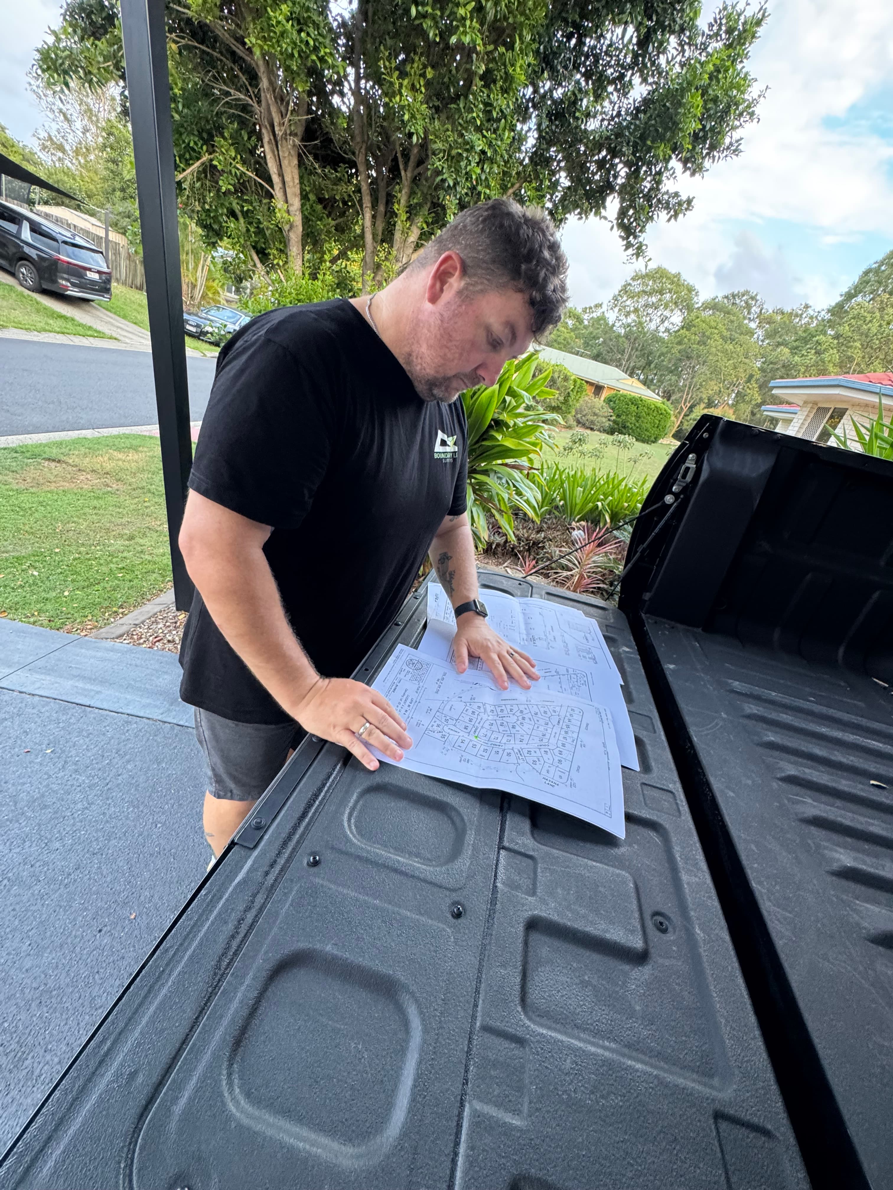
A Contour and Detail Survey, sometimes called a Site Survey, creates an accurate map of your property showing existing features, structures, ground levels and the shape and slope of the land.
It provides architects, building designers, engineers and town planners with the accurate site information they need to design your project around the actual conditions on the property.
Depending on the property and project, a Contour and Detail Survey can show buildings, fences, retaining walls, driveways, trees, services, kerbs, ground levels, contours and other important site features.
You may need a Contour & Detail Survey if you’re:
- Designing a new home
- Planning a renovation or extension
- Building a pool, shed or other structure
- Starting a subdivision or property development
- Preparing a development application
- Working with an architect, engineer or building designer
- Trying to understand the slope, drainage or existing features of your property
Having accurate site and level information from the beginning can help identify constraints such as steep slopes, drainage paths, easements and existing infrastructure before they create problems later in the project.
Boundary Line Surveys can provide your survey in formats suitable for architects, engineers and designers, including PDF survey plans and digital CAD files
Certification Surveys
Confirm that what’s being built is in the right place.
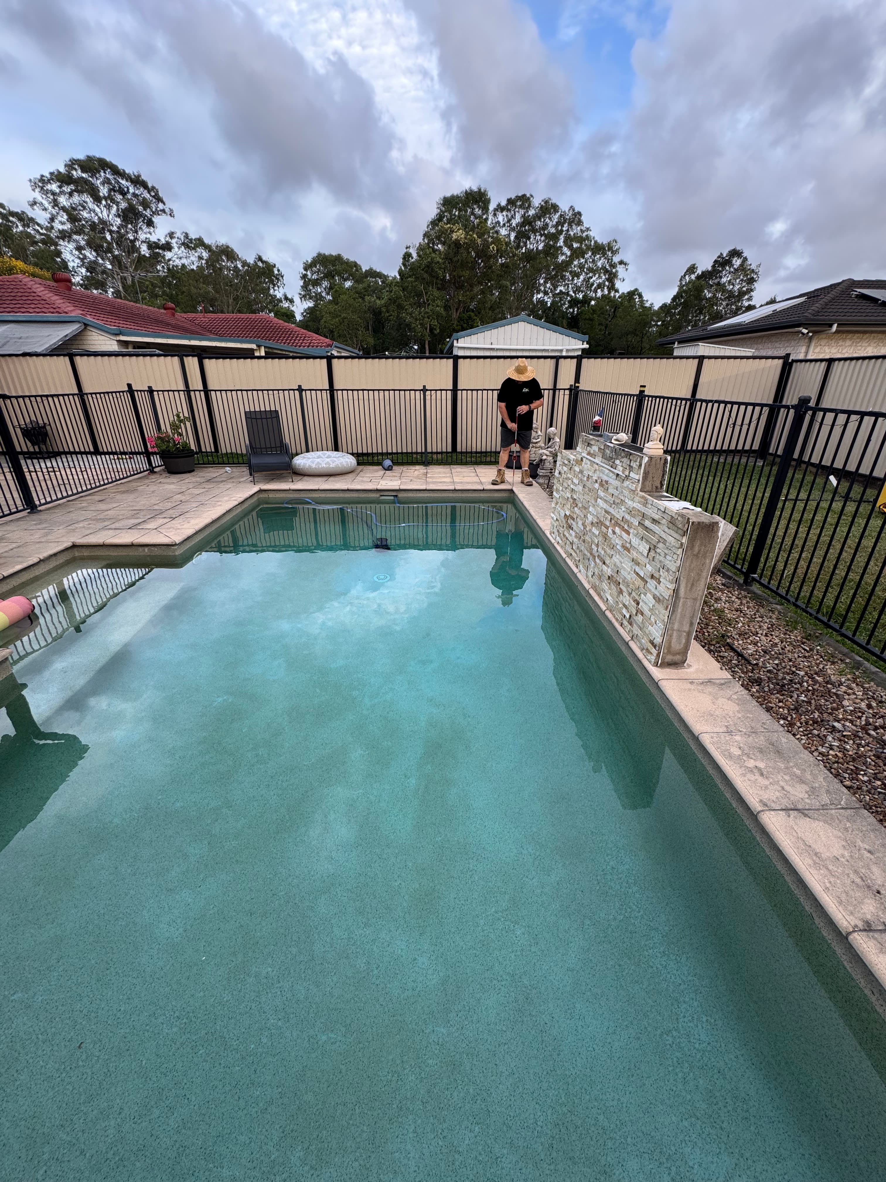
A Certification Survey verifies the position of a building or structure during construction and confirms that it has been built in the approved location and meets the required property boundary setbacks.
You may hear your builder or building certifier refer to this as a Form 12 Certification, location certificate, or simply ask for a surveyor to certify the position of the works.
You may need a Certification Survey if you’re:
- Building a new home
- Constructing a home extension
- Building a shed or garage
- Installing a swimming pool
- Constructing a commercial building
- Asked by your builder or building certifier for a Form 12
- Required to confirm boundary setbacks during construction
Certification Surveys are commonly completed at key stages of construction, such as after the slab or footings have been constructed.
Boundary Line Surveys uses precise surveying equipment and established boundary information to independently verify the position of the works and provide the required survey certification to your building certifier.
Because construction schedules can depend on certification before the next stage can proceed, fast turnaround is available to help keep your project moving.
Land Development
Surveying support throughout your land development project.
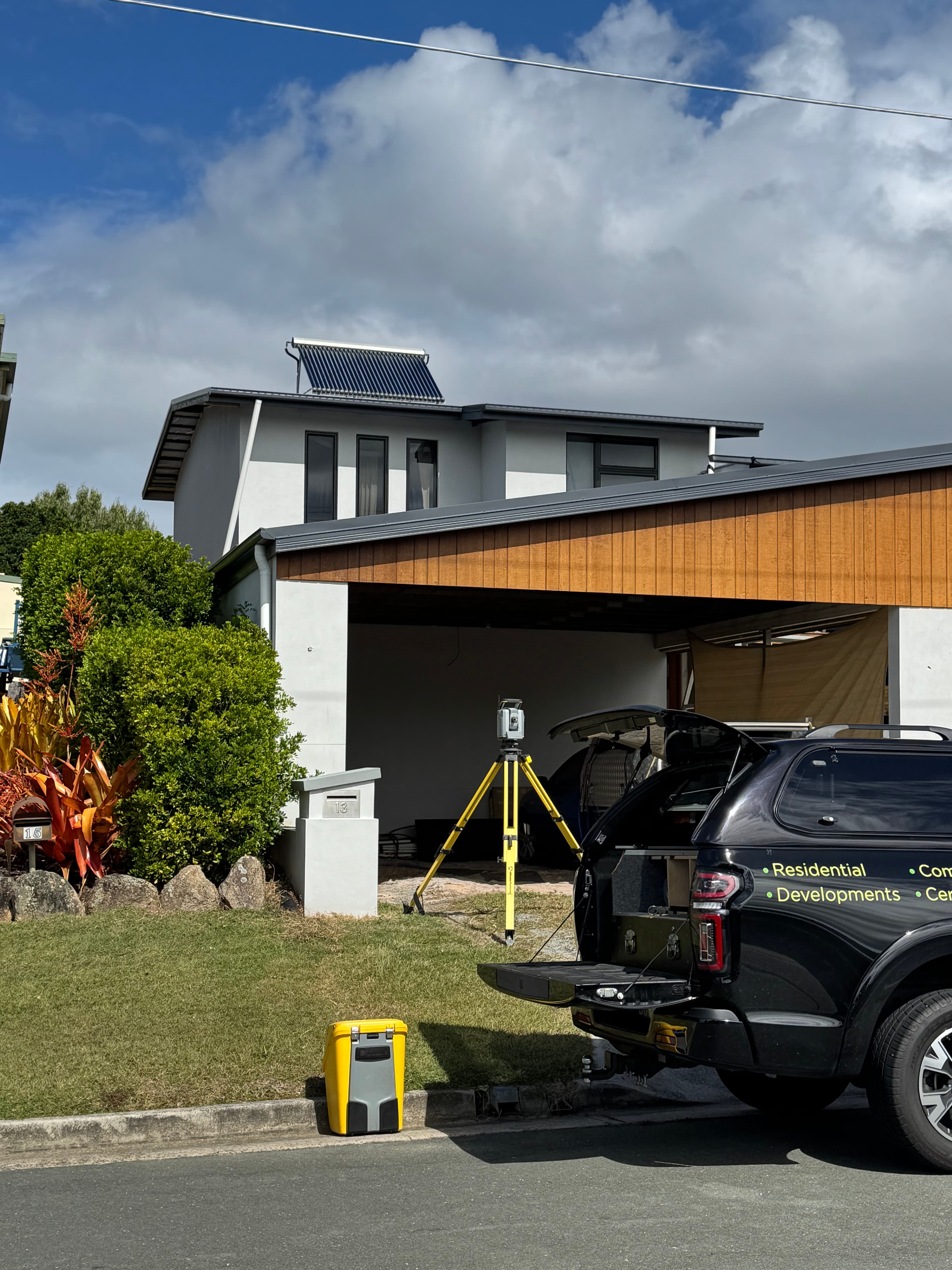
Land Development Surveying can involve several surveying services as a project moves from initial site investigations through planning, design, approvals, construction and completion.
Rather than being one specific type of survey, land development surveying brings together the professional surveying services required throughout a larger residential, commercial or property development.
You may need Land Development Surveying if you’re:
- Developing vacant land
- Planning a residential development
- Planning a commercial development
- Investigating the development potential of a property
- Preparing land for multiple buildings or lots
- Working with architects, engineers or town planners
- Coordinating a project requiring several different surveys
- Moving from development approval into construction
Depending on your project, BLS can assist with boundary surveys, contour and detail surveys, subdivision surveys, construction set-out, certification surveys and as-constructed surveys.
Engaging a land surveyor early in the development process can also help identify property boundaries, easements, existing infrastructure and other site constraints before significant design work begins.
Boundary Line Surveys works alongside developers, builders, architects, engineers, town planners, building certifiers, councils and utility providers to provide surveying support throughout the development process.
Subdivision
Dividing one property into two or more lots.
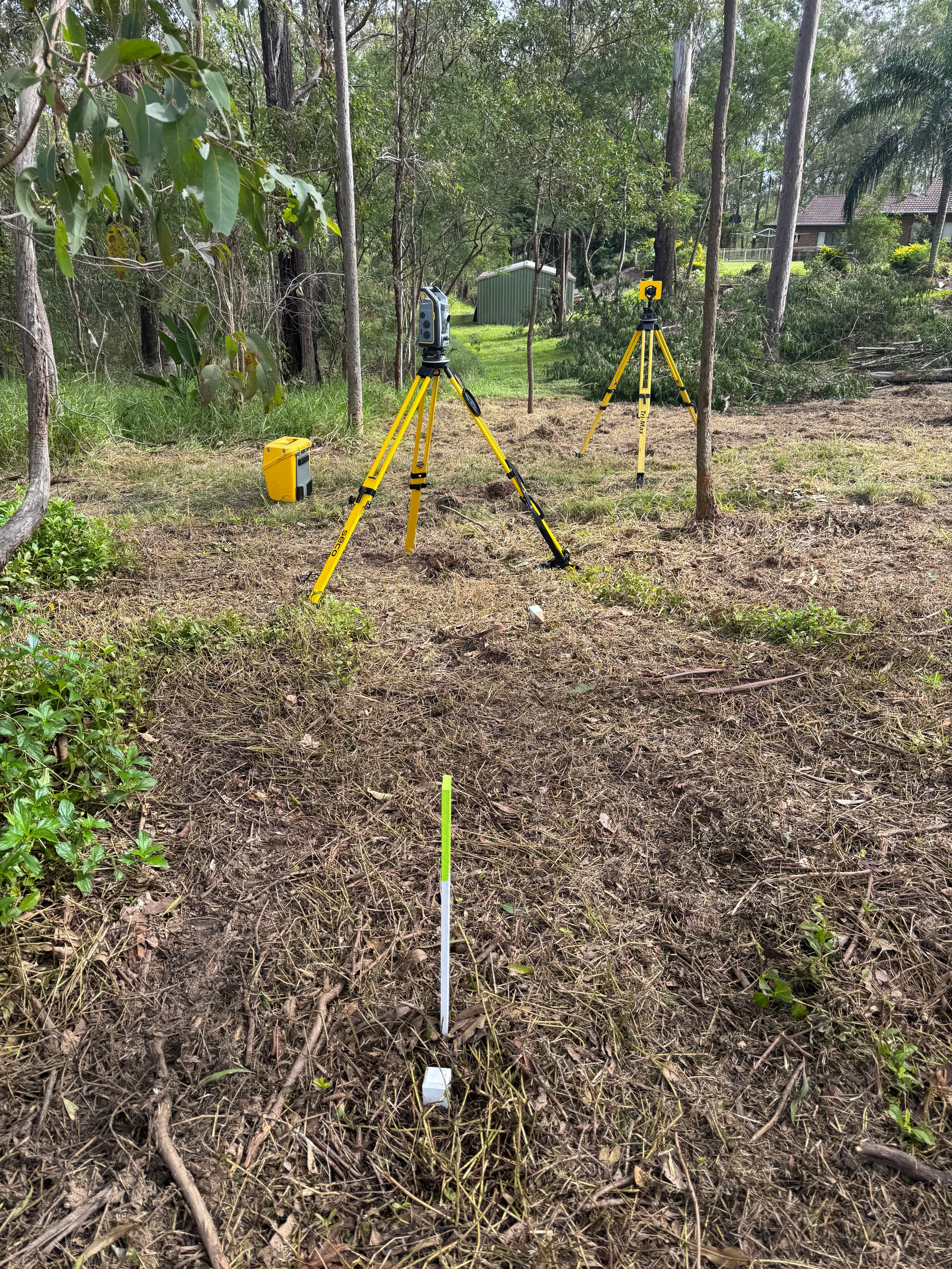
A Subdivision Survey forms part of the process of dividing an existing parcel of land into separate lots that can ultimately have their own individual property titles.
The land subdivision process involves more than simply drawing a new boundary through a property. New property boundaries need to be accurately established, surveyed and documented in accordance with Queensland surveying requirements.
You may need a Subdivision Survey if you’re:
- Subdividing land into two or more lots
- Creating a new lot to sell separately
- Developing land into multiple residential lots
- Creating or changing property boundaries
- Creating or altering easements
- Working with a town planner on a subdivision
- Preparing an approved subdivision for title registration
Boundary Line Surveys undertakes the field surveying and cadastral boundary investigation required to accurately establish the new lots and prepare the formal Survey Plan.
Depending on the development, the Survey Plan may show new lot boundaries, dimensions, areas, easements, access arrangements, road dedications, common property and other interests affecting the land.
Boundary Line Surveys works with your wider project team, including town planners, engineers, certifiers, councils, solicitors and utility providers, to help move the surveying component of your subdivision through each stage.
Once the necessary approval conditions have been satisfied, the Survey Plan can proceed through the registration process with the Queensland Titles Registry, allowing individual titles for the new lots to be created.
Engineering Services
Precise surveying for construction and civil projects.
Engineering Surveys provide builders, engineers and contractors with the accurate positions, levels and measurements required for construction and civil engineering projects.
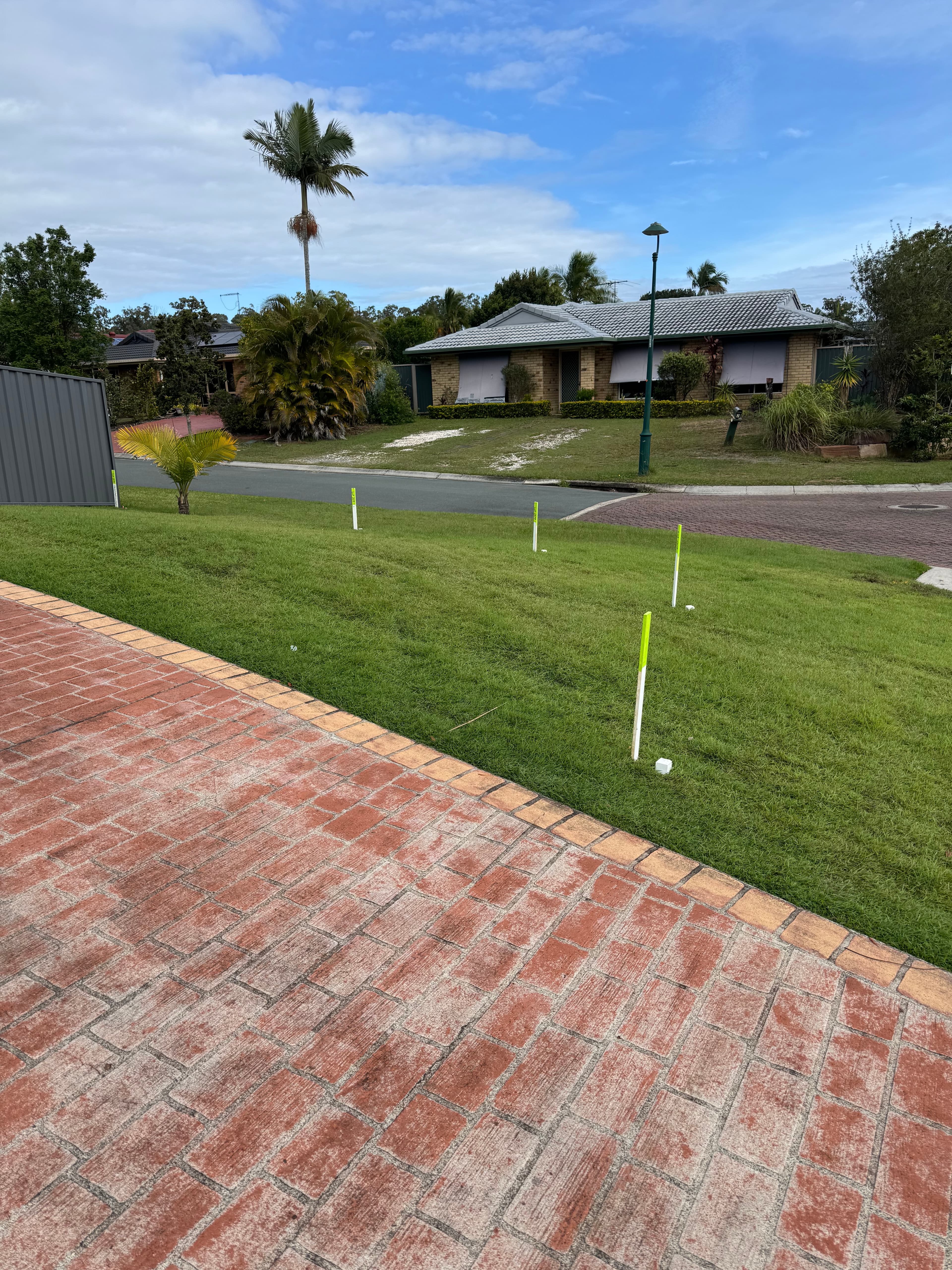
One of the most common engineering surveying services is Construction Set-Out Surveying. This takes the dimensions, levels and coordinates shown on engineering or construction plans and accurately transfers them onto the ground so the works can be constructed in the correct position.
You may need an Engineering Survey if you’re:
- Starting a civil construction project
- Building roads or drainage infrastructure
- Constructing retaining walls
- Installing pipelines or underground services
- Completing major earthworks
- Setting out buildings, footings or columns
- Needing accurate construction levels
- Checking completed works against an approved design
- Calculating cut, fill or stockpile volumes
Depending on the project, Boundary Line Surveys can establish survey control and set out building corners, footings, columns, kerbs, road alignments, drainage structures, services and finished design levels.
Boundary Line Surveys can also undertake As-Constructed Surveys to record and verify the final position of completed works, as well as earthworks and volume surveys for cut and fill quantities, stockpiles and site progress.
Accurate engineering surveying throughout construction helps reduce positioning errors, minimise costly rework and give engineers, builders and project managers confidence that what’s being built matches the approved design.